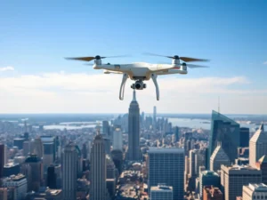
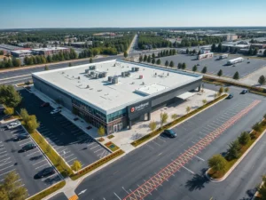
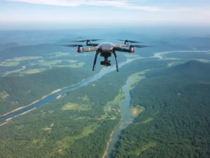
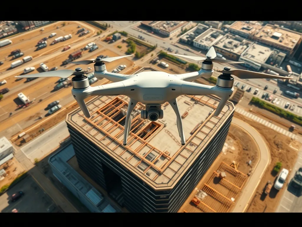
Construction drone services use aerial imagery and data to document progress, improve jobsite safety, and keep stakeholders aligned. From weekly progress flights to volumetric measurements and 3D models, drones have become a standard tool on modern construction sites. This guide explains how general contractors put drones to work and the deliverables you can expect.
Why contractors use drones
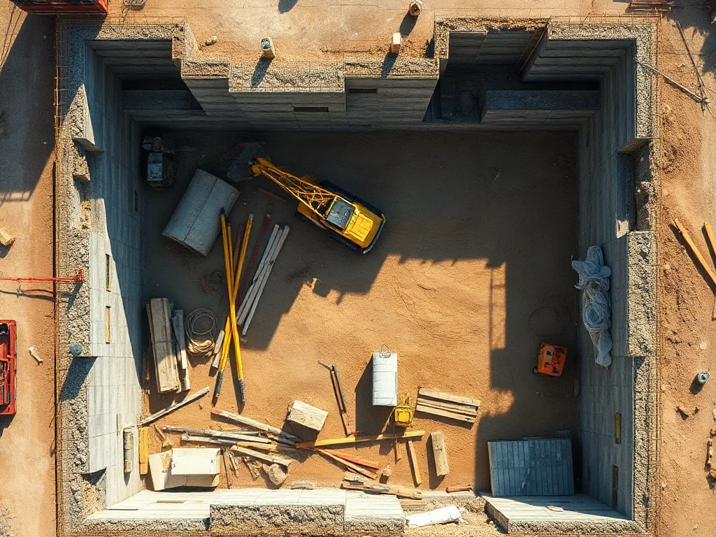
A drone captures an entire jobsite in minutes, revealing progress and issues that are hard to see from the ground. That bird’s-eye view helps teams spot problems early, reduce costly surprises, and communicate clearly with owners and investors. It’s faster, safer, and more complete than walking the site with a camera.
Progress documentation
Regular aerial captures — often weekly or biweekly — build a visual timeline of the entire project. This record is invaluable for:
- Owner and investor updates
- Marketing and stakeholder presentations
- Dispute resolution and as-built records
- Comparing planned vs. actual progress
Safety and inspections
Drones inspect high, confined, or hazardous areas without putting workers at risk. Instead of sending someone up scaffolding or onto a roof, a drone captures detailed imagery from the air — improving safety while keeping a thorough record.
Mapping, volumes, and 3D models
Beyond photos, construction drones generate orthomosaic maps, 3D models, and point clouds. With proper technique, they can calculate stockpile and earthwork volumes accurately, track grading, and feed data into BIM and design workflows. For the difference between visual mapping and precise measurement, see our guide on drone mapping vs. surveying.
Reporting and deliverables
Construction drone services range from simple photo sets to full data packages:
- Date-stamped progress photos and video
- Orthomosaic site maps
- 3D models and elevation data
- Volume and area measurements
These deliverables turn the jobsite into actionable data that keeps projects on schedule and on budget.
Do construction drone flights need a license?
Yes. Commercial construction drone work must be flown by an FAA Part 107 certified pilot who understands jobsite and airspace safety. Tomafly construction drone services connect you with certified pilots nationwide.
Get started
Whether you need a one-time site map or recurring progress flights, request construction drone services and we’ll match you with a certified pilot near your project. Browse our work to see examples.
Frequently Asked Questions
How often should drones capture a construction site?
Many projects schedule weekly or biweekly flights to build a consistent, reliable progress timeline.
Can drones measure stockpiles and earthwork volumes?
Yes. With mapping and survey techniques, drones can calculate volumes and track earthwork accurately.
Do construction drone flights need a license?
Yes. Commercial construction drone work must be flown by an FAA Part 107 certified pilot.
What deliverables do construction drone services provide?
Common deliverables include progress photos and video, orthomosaic maps, 3D models, and volume measurements.
How do drones improve jobsite safety?
Drones inspect high or hazardous areas from the air, so workers don’t have to climb or enter dangerous zones to gather data.
Keep your build on schedule. Request construction drone services from a certified pilot near you.