Drone mapping creates visual models and images of an area, while drone surveying adds survey-grade measurement accuracy. They sound similar and use the same flights and cameras, but they serve different goals and deliver different results. This guide explains the difference, the technology behind both, the accuracy you can expect, and how to choose the right one for your project.
Definitions: mapping vs. surveying
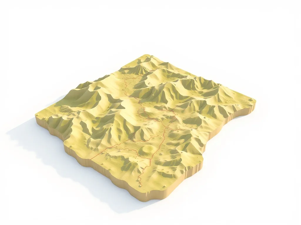
Drone mapping turns aerial photos into visual products — orthomosaic maps, elevation models, and 3D models — that show what a site looks like and how it’s changing. Drone surveying goes a step further, producing measurements precise enough for engineering, legal, and construction use, often verified with ground control points.
Put simply: mapping answers “what does it look like?” while surveying answers “what are the exact measurements?”
The technology: photogrammetry and orthomosaics
Both rely on photogrammetry — capturing hundreds of overlapping aerial photos and stitching them into a single, geometrically corrected image or model.
Orthomosaics
An orthomosaic is one large, distortion-free aerial image built from many photos. Unlike a regular photo, every point is to scale, so you can measure distances and areas accurately.
3D models and point clouds
Software can also generate 3D terrain models and point clouds used for volume calculations, design, and progress tracking.
Accuracy: how precise is each?
Standard drone mapping delivers good relative accuracy suitable for visualization and progress monitoring. Drone surveying, when paired with ground control points (GCPs) or RTK/PPK positioning, can reach centimeter-level accuracy appropriate for many construction and engineering tasks. The more precise the requirement, the more setup and processing involved.
Deliverables you can expect
- Mapping: orthomosaic maps, elevation maps, 3D models, progress imagery.
- Surveying: survey-grade orthomosaics, topographic data, volume measurements, contour lines.
When to use mapping vs. surveying
Choose mapping for marketing, site overviews, construction progress, and agriculture monitoring — anywhere a clear, scaled visual is enough. Choose surveying when you need legal or engineering-grade precision, such as earthwork volumes, grading, or design work. For legal boundary surveys specifically, a licensed surveyor is still required, often working alongside drone data.
Get drone mapping or surveying
Both require an FAA Part 107 certified pilot and the right workflow. Tomafly offers drone mapping and surveying with certified pilots nationwide. See recent projects or request a quote for your site.
Frequently Asked Questions
Is drone surveying accurate enough for construction?
With ground control points or RTK positioning, drone surveys can reach centimeter-level accuracy suitable for many construction tasks.
What is an orthomosaic?
An orthomosaic is a single, distortion-corrected aerial image stitched from many overlapping photos, used as an accurate, to-scale map.
Do I need a licensed surveyor?
For legal boundary surveys, yes. For volumetric data and progress mapping, a certified drone pilot is often sufficient.
What’s the difference between mapping and surveying?
Mapping produces visual models of a site, while surveying adds survey-grade measurement accuracy for engineering and legal use.
How long does a drone mapping flight take?
Most sites are flown in under an hour, though processing the data into maps and models takes additional time.
Have a site to map? Request drone mapping or surveying from a certified pilot near you.