Professional drone photography in the United States typically costs between $150 and $500+ per shoot in 2026, with most residential real estate packages landing around $200–$350. The exact price depends on the type of service, your location, the deliverables you need, and how much editing is involved. In this guide we break down real 2026 pricing so you know exactly what you’re paying for and how to get an accurate quote.
Whether you need aerial photos for a property listing, a roof inspection, or a marketing video, understanding the cost drivers helps you budget confidently and avoid overpaying.
Average drone photography prices by service
Drone work is priced by project type because each one requires different flight time, equipment, and post-production. Here are realistic 2026 ranges in the U.S.:
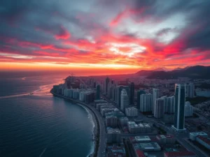
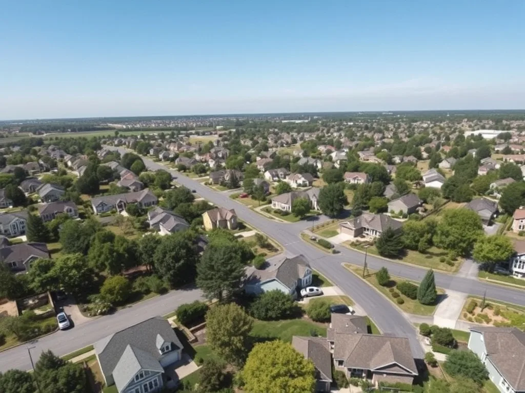
- Real estate photography: $150–$350 for a typical residential listing (exterior, lot, and a few elevated angles).
- Aerial video / promotional reels: $300–$800+, driven mostly by editing and length.
- Roof or technical inspection: $200–$500 per site, including a basic image report.
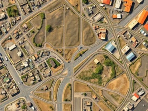
- Mapping & surveying: $400–$1,500+ depending on acreage and the deliverables (orthomosaics, 3D models, volume calculations).
- Events & commercial shoots: $400–$1,200+ based on hours on site and crew.
These are starting points. A large commercial property or a multi-day project will sit at the higher end, while a quick single-location shoot stays near the bottom.
What affects the price of a drone shoot
Five main factors move the final number up or down. Knowing them helps you request the right package.
1. Service type and complexity
Capturing a few exterior real estate photos is far simpler than a detailed thermal roof inspection or a survey-grade mapping flight. The more technical the deliverable, the more time and specialized equipment are required.
2. Location and travel
Remote sites, long drive times, and restricted airspace near airports add cost. Pilots often factor travel and any required FAA airspace authorizations into the quote.
3. Deliverables and editing
Raw, lightly edited photos are the cheapest option. Color-graded 4K video, stitched orthomosaics, and 3D models take hours of post-production and raise the price accordingly.
4. Flight time and property size
A small home takes minutes to capture; a 50-acre site or a tall commercial building takes much longer to fly and process.
5. Turnaround time
Rush delivery often carries a premium because it bumps your project to the front of the editing queue.
Sample drone photography packages
To make budgeting easier, here’s how typical packages are structured:
- Basic listing package (~$199): 10–15 edited aerial photos of a residential property.
- Premium listing package (~$399): Aerial photos plus a short edited video tour.
- Inspection package (~$299): High-resolution roof imagery plus a simple findings report.
- Commercial/mapping (custom): Priced after a quick scope of acreage and deliverables.
Is drone photography worth the cost?
For most projects, yes. Real estate listings with aerial media tend to attract more views and can sell faster, which easily justifies a few hundred dollars. For inspections, drones replace expensive, risky manual climbs and deliver results in a fraction of the time. And for marketing, a single sweeping aerial shot can elevate an entire campaign. The key is matching the service to your goal so you only pay for what moves the needle.
How Tomafly pricing works
With Tomafly, you get a clear, upfront quote based on your service and location, then we match you with an FAA Part 107 certified pilot near you. No hidden fees and no surprises — you see the price before you book. Explore our aerial photography and video services or request a free quote in minutes.
Frequently Asked Questions
How much does real estate drone photography cost?
Most residential real estate drone photo packages run between $150 and $350. Adding an edited video tour usually pushes the total toward $400–$500.
Why do drone photography prices vary so much?
Price depends on the service type, location, deliverables, flight time, and editing. A simple photo shoot costs far less than survey-grade mapping or a fully edited 4K video.
Is drone photography worth the cost for real estate?
Yes. Listings with aerial media often get more attention and can sell faster, so the investment typically pays for itself.
Do I pay extra for editing and rush delivery?
Advanced editing (4K video, 3D models) and rush turnaround usually cost more. Your quote will list exactly what’s included so there are no surprises.
How do I get an accurate drone photography quote?
Share your service type and location, and a certified pilot can give you a clear, fixed quote in minutes — no guesswork.
Ready to get an exact price? Request your free quote and a certified pilot near you will handle the rest.